Sun glare mobile App
Driving in dazzling sun is dangerous. Every year, thousands of traffic accidents are caused by the glaring sun. We provide the world first mobile App to precisely predict when and where sun glares happen.

Driving in dazzling sun is dangerous. Every year, thousands of traffic accidents are caused by the glaring sun. We provide the world first mobile App to precisely predict when and where sun glares happen.
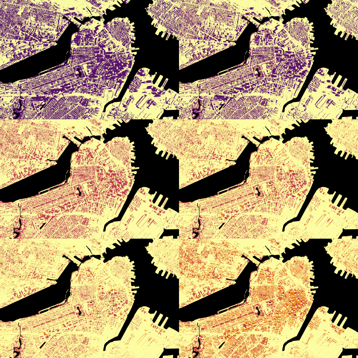
Biometeors develop efficient urban microclimate modeling algorithms to simulate the urban microclimate based on fine level urban 3D models. Biometeors provide solutions for you to mitigate outdoor heat exposure. Biometeors provide scenarios simulation for urban climate planning.
Biometeors develop Artificial Intelligence (AI) and geospatial technologies to deliver geospatial intelligence, which offer new solutions to urban problems and sustainable development.

If you looking around to find a place to move in, you may wonder who is living in this neighborhood, this App will help you. If you want to move to one city, and you are not familiar with different neighborhoods, this App will help you to find the most appropriate neighborhoods for you. If you just curious about which neighborhoods are better across the US, this App will help you. This App will help you know better about your neighborhood.
Biometeors are a team of meteorologist, computer scientist, spatial data scientist, and urban planner.
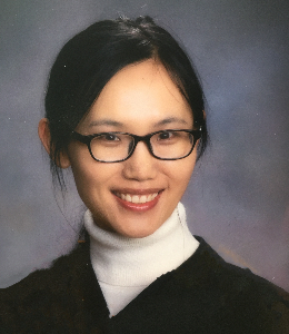
Grace is a research scientist at NASA Goddard Space Flight Center. Her research focuses on remote sensing of the environment.
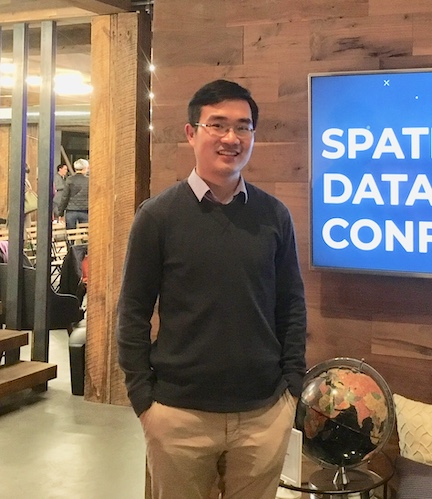
Xiaojiang is a professor in geospatial science. He was a postdoc scientist at MIT and the 50 Rising Stars in Geospatial World.

Waishan is Cornell and MIT trained designer and urban planner. He is name as Forbes 30 under 30 years.

Bill is an AI scientist. He has M.S. in MIT computer science and B.S. in Economy at University of Chicago.
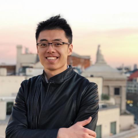
Jintai is an urban planner and data scientist. He has M.S. in MIT civil engineering and B.S. from Tsinghua University.
Wyndmoore, Glenside, PA, 19038
info@biometeors.com